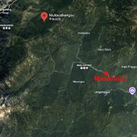
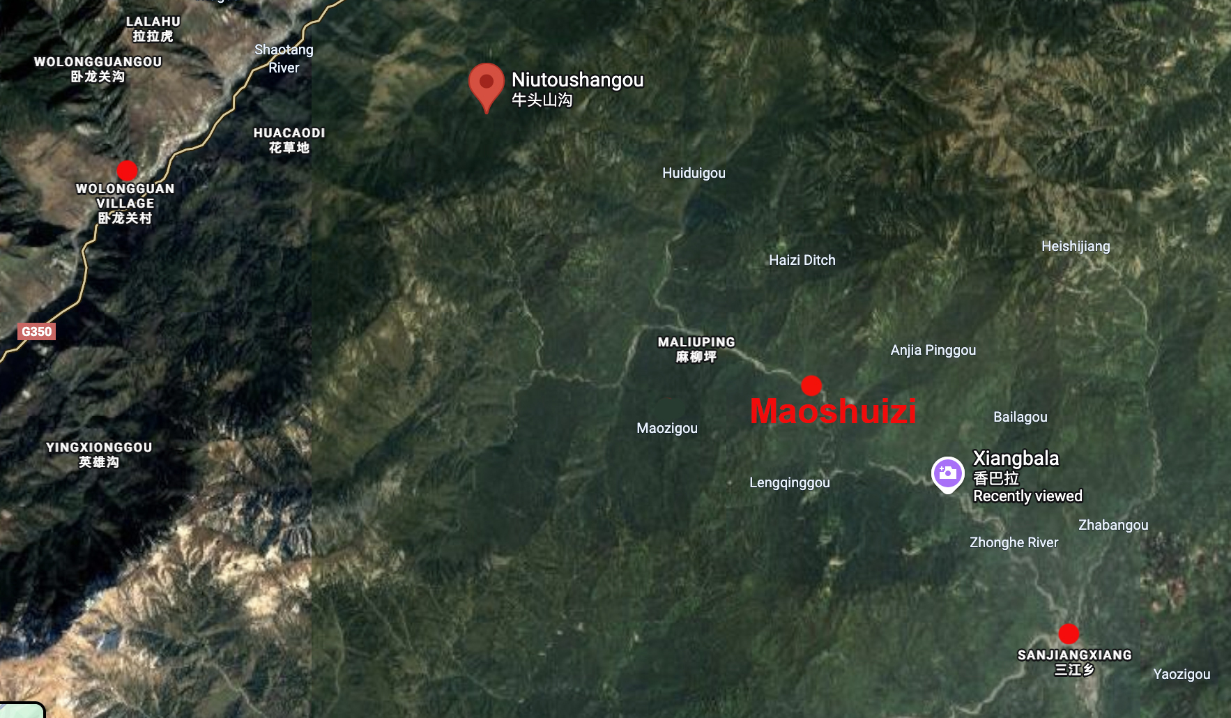
Map Detail of Region between Wolongguan and Maoshuizi
Item
-
Title
-
Map Detail of Region between Wolongguan and Maoshuizi
-
Identifier
-
MAP_013
-
Description
-
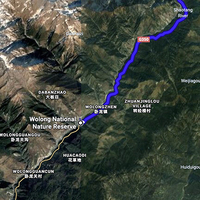
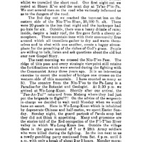
This map continues Beatty's and Vinden's trek on their homeward journey from Wolongguan to Maoshuizi, where they saw the baby Pandora panda. They would have left the Shaotang River (P’i T’iao River) at Huachaodi, crossed over the Niutoushangou (Niu T’eo or Shan Cow’s Head Pass), picked up the Zhonghe River at Maluiping, which they followed to Maoshuizi, where they found Pandora for sale. From Sanjiangxiang (San Chiang Ko), where they stayed the night, they were able to get back to Dujiangyan the next day.
-
Commentary
-
Caoping on this map is at "Xiangbala."
-
Creator
-
Annotations by Cory Willmott
-
Date Created
-
2025-12-30
-
Original Format
-
Google Maps
-
Provenance
-
Original research.
-
Publisher
-
SIUE
-
Record Date
-
2025-12-30
-
Contributor
-
Cory Willmott
-
Type
-
Map
-
References
-
Edward E. Beatty. “The Bandit Chief.” West China Missionary News 40, no. 11 (Nov. 1938): 389-391.
-
Published In
-
George G. Helde. “Map of Part of Tribes Country.” The Journal of the West China Border Research Society 1 (1922-1923): oversize insert.
 WCMN The Bandit Chief, 1938