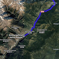
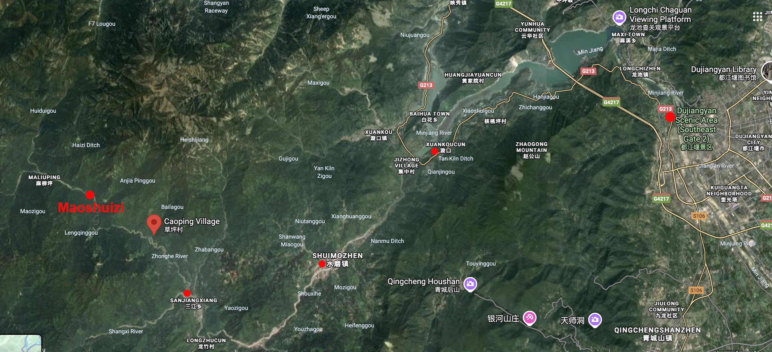
Annotated Map of the Route between Xuankoucun and Caoping
Item
-
Title
-
Annotated Map of the Route between Xuankoucun and Caoping
-
Identifier
-
MAP_011
-
Description
-
This map's annotations show the key locations mentioned by Beatty in the first two days of his account of his and Gilbert Vinden's trip into tribes country in 1938. Starting from Dujiangyan, the pair made it on foot to Caoping in two days. This part of the route follows the Shouxi River all the way. Maoshuizi (Mao Shin Tze), where the pair encountered baby Pandora on their way back is also indicated.
-
Creator
-
Annotations by Cory Willmott
-
Date Created
-
2025-12-30
-
Original Format
-
Google Maps
-
Provenance
-
Original research.
-
Access Rights
-
https://creativecommons.org/licenses/by/4.0/
-
Publisher
-
SIUE
-
Record Date
-
2025-12-30
-
Contributor
-
Cory Willmott
-
Type
-
Map
-
References
-
Edward E. Beatty. “The Bandit Chief.” West China Missionary News 40, no. 11 (Nov. 1938): 389-391.
-
Published In
-
George G. Helde. “Map of Part of Tribes Country.” The Journal of the West China Border Research Society 1 (1922-1923): oversize insert.

 WCMN The Bandit Chief, 1938